


Paramount has launched a £108.4bn hostile bid for Warner Bros, challenging Netflix, which had reached a $72bn takeover deal with the company.
Paramount said on Monday that it was going straight to Warner Bros Discovery (WBD) shareholders with a $30 per share in cash offer for the entirety of the company, including its Global Networks segment, asking them to reject the deal with Netflix.
On Friday Netflix struck a deal to buy WBD, the Hollywood giant behind “Harry Potter” and HBO Max
The agreement means Warner Bros Discovery’s library of film and TV successes including Harry Potter and Game Of Thrones will come under the same roof as Stranger Things and Squid Game.
The cash and stock deal is valued at $27.75 per Warner share, giving it a total enterprise value of $82.7 billion, including debt.
But Paramount says its deal will pay $30 cash per share, representing $18 billion more in cash than its rivals are offering.
In a statement, Paramount said it was making a “strategically and financially compelling offer to WBD shareholders” and a “superior alternative to the Netflix transaction”.

File pic: iStock
David Ellison, chairman and CEO of Paramount, said: “WBD shareholders deserve an opportunity to consider our superior all-cash offer for their shares in the entire company.
“Our public offer, which is on the same terms we provided to the Warner Bros. Discovery Board of Directors in private, provides superior value, and a more certain and quicker path to completion.
“We believe the WBD Board of Directors is pursuing an inferior proposal which exposes shareholders to a mix of cash and stock, an uncertain future trading value of the Global Networks linear cable business and a challenging regulatory approval process.
“We are taking our offer directly to shareholders to give them the opportunity to act in their own best interests and maximize the value of their shares.”
Paramount said it had submitted six proposals to WBD in the course of 12 weeks, but that they were never “meaningfully” engaged with.
This breaking news story is being updated and more details will be published shortly.
Please refresh the page for the latest version.
You can receive breaking news alerts on a smartphone or tablet via the Sky News app. You can also follow us on WhatsApp and subscribe to our YouTube channel to keep up with the latest news.


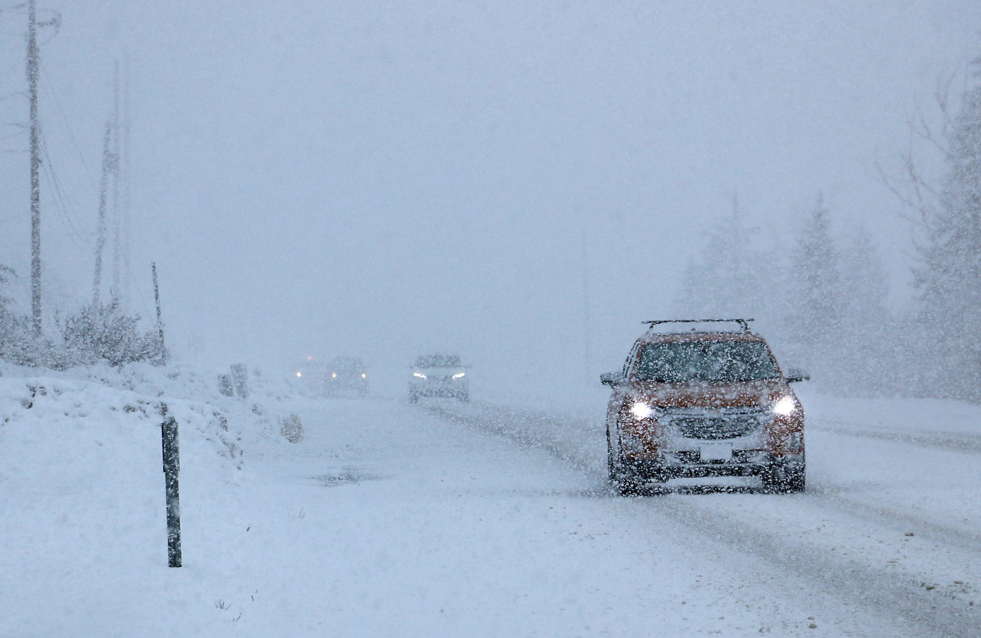
Storm Bram has been named by the Irish weather service – with warnings for strong winds and heavy rain issued for parts of the UK and Ireland.
More than half a month’s rainfall could hit some parts of the UK in just a 24-hour period, the Met Office has warned.
Parts of Scotland are also facing a “danger to life” warning due to the “very strong” winds on Tuesday.
Yellow and orange warnings are in place across Ireland today and tomorrow, with “very strong to gale force” winds forecast on Tuesday.
Check the forecast for your area
The Met Office said strong winds forecast from Monday evening through until Wednesday could cause disruption, with gusts of 50-60mph predicted widely and 70-80mph in some places.
A yellow weather warning for rain comes into force from 6pm on Monday, and will be in place until 2pm on Tuesday, covering parts of southwest England and Wales, and stretching to parts of Herefordshire and Hampshire.
The Met Office has also issued a yellow warning for high winds from Dorset to Cornwall and up to north Wales, in place from 10pm on Monday until 4pm on Tuesday.
It said transport networks could face disruption, with delays for high-sided vehicles on exposed routes and bridges, and coastal roads and seafronts affected by spray and large waves. Power outages are also possible.
For 24 hours from 6pm on Monday, up to 40mm of rain could fall in some areas, with 60-80mm of rain over Dartmoor and high ground in South Wales, which would amount to more than half the average monthly rainfall in December.
The predicted rainfall across southwest England and South Wales is expected to hit already saturated ground and could lead to difficult travel conditions.
An amber warning for wind has been issued for northwest Scotland on Tuesday, from 4pm until the end of the day.
Flying debris “could result in a danger to life” – and there could be damage to buildings and homes along with the risk of roofs being “blown off” due to the “very strong and disruptive winds”, the Met Office warned.
Forecasters added there was the potential for large waves and beach material “being thrown” across sea fronts, roads and properties.
There are also further yellow warnings for wind and rain on Tuesday across Northern Ireland, Scotland, Wales and northern England.
Weather warnings issued for Tuesday. Pic: Met Office
Yellow warnings for wind have been issued for Scotland and parts of northern England on Wednesday.
The Met Office’s deputy chief meteorologist, Steven Keates, said: “A deepening area of low pressure will approach the UK from the southwest later on Monday, bringing with it heavy rain and strong winds, which are likely to affect the UK between late Monday and early Wednesday.
“The exact track, depth and timings of this low are uncertain, which makes it harder to determine where will be most impacted by strong winds and/or heavy rain.
“This system has the potential to cause disruption, and severe weather warnings are likely to be issued over the weekend as details become clearer. We therefore urge people to keep up-to-date with the latest Met Office forecast.”
Read more from Sky News:
City may have to evacuate as water supplies run low
UK unveils undersea military technology
Sky News meteorologist Dr Christopher England warned many areas could face disruption from “damaging gusts”.
“There could also be ferry disruption and that even outside the warning areas, potentially damaging gusts of over 50mph are possible,” he said.
“It only takes one tree falling in the wrong place at the wrong time to have a significant impact.”
The Met Office said the rest of the month remained unsettled, with further periods of low pressure predicted.
It said it is too early to provide an accurate forecast for the Christmas period.
-
 Sports2 years ago
Story injured on diving stop, exits Red Sox game
-
 Sports3 years ago
‘Storybook stuff’: Inside the night Bryce Harper sent the Phillies to the World Series
-
 Sports2 years ago
Game 1 of WS least-watched in recorded history
-
 Sports3 years ago
Button battles heat exhaustion in NASCAR debut
-
 Sports3 years ago
MLB Rank 2023: Ranking baseball’s top 100 players
-
Sports4 years ago
Team Europe easily wins 4th straight Laver Cup
-
 Environment3 years ago
Japan and South Korea have a lot at stake in a free and open South China Sea
-
 Environment1 year ago
Here are the best electric bikes you can buy at every price level in October 2024